
Gangga topographic map
Click on the map to display elevation.
About this map
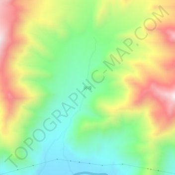
Name: Gangga topographic map, elevation, terrain.
Location: Gangga, Nanmulin, Namling County, Shigatse, Tibet, China (29.69412 89.10885 29.73412 89.14885)
Average elevation: 14,337 ft
Minimum elevation: 13,196 ft
Maximum elevation: 15,991 ft