Geolocate

Hohenfeld topographic map

Click on the map to display elevation.

About this map

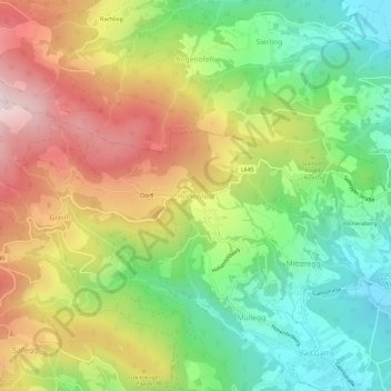
Name: Hohenfeld topographic map, elevation, terrain.

Location: Hohenfeld, Bezirk Deutschlandsberg, Styria, 8524, Austria (46.86596 15.18496 46.90596 15.22496)

Average elevation: 2,096 ft

Minimum elevation: 1,201 ft

Maximum elevation: 3,251 ft

Gear up for your next adventure:

🧼Biodegradable Camping Soap - Eco‑friendly soap for outdoor hygiene
🛶Inflatable Kayak - Portable kayak for rivers, lakes, and expeditions
🥇GPS Hiking Watch - Multi‑sport GPS watch with navigation and trail tracking
😴Insulated Sleeping Pads - Compact and warm pads for high-elevation camping
📌Outdoor GPS Map App - Apps and devices for digital topographic navigation

As an Amazon Associate, this site earns from qualifying purchases at no extra cost to you.