Geolocate

Percilla topographic map

Click on the map to display elevation.

About this map

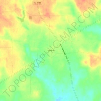
Name: Percilla topographic map, elevation, terrain.

Location: Percilla, Houston County, Texas, United States (31.52712 -95.41911 31.56712 -95.37911)

Average elevation: 433 ft

Minimum elevation: 351 ft

Maximum elevation: 502 ft

Houston County trails, hiking, mountain biking, running and outdoor activities

Gear up for your next adventure:

🧦Merino Wool Socks - Moisture-wicking, blister-preventing socks for long treks
👟Trail Running Shoes - Lightweight shoes for trail runners
🔦Powerful Headlamps - Ultra-bright hands-free lighting for night navigation
🛰️Satellite Messengers - Emergency SOS and two-way messaging for off-grid adventures
🧭Pro Hiking Compasses - High-accuracy liquid-filled compasses for topographic orientation

As an Amazon Associate, this site earns from qualifying purchases at no extra cost to you.