
Maan topographic map
Click on the map to display elevation.
Maan
Ma'an has a cold desert climate (Köppen climate classification BWk), with hot summers and mild to cold winters due to its high altitude (above 1000 meters). Rainfall is extremely rare with an average of 44 mm a year only.
About this map
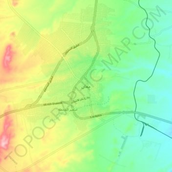
Name: Maan topographic map, elevation, terrain.
Location: Maan, Ma'an Sub-District, Ma'an Qasabah District, Maan, Jordan (30.04000 35.57333 30.36000 35.89333)
Average elevation: 3,711 ft
Minimum elevation: 3,091 ft
Maximum elevation: 4,941 ft