
Mawana topographic map
Interactive map
Click on the map to display elevation.
About this map
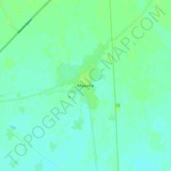
Name: Mawana topographic map, elevation, terrain.
Location: Mawana, Meerut, Uttar Pradesh, 250400, India (29.05906 77.88086 29.13906 77.96086)
Average elevation: 755 ft
Minimum elevation: 741 ft
Maximum elevation: 771 ft