
Thank you for supporting this site ❤️
Make a donation
Make a donation
Gear up for your next adventure:
As an Amazon Associate, this site earns from qualifying purchases at no extra cost to you.
Spitzkunnersdorf topographic map
Click on the map to display elevation.
Thank you for supporting this site ❤️
Make a donation
Make a donation
Gear up for your next adventure:
As an Amazon Associate, this site earns from qualifying purchases at no extra cost to you.
About this map
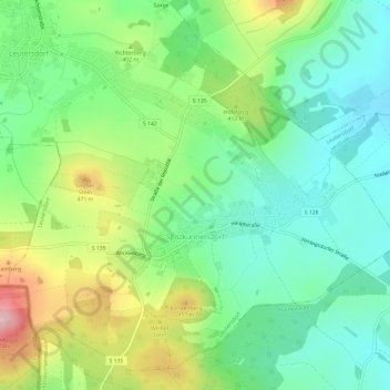
Name: Spitzkunnersdorf topographic map, elevation, terrain.
Location: Spitzkunnersdorf, Leutersdorf, Görlitz, Sachsen, Deutschland (50.92340 14.64734 50.95745 14.70718)
Average elevation: 1,237 ft
Minimum elevation: 994 ft
Maximum elevation: 1,709 ft
Thank you for supporting this site ❤️
Make a donation
Make a donation
Gear up for your next adventure:
As an Amazon Associate, this site earns from qualifying purchases at no extra cost to you.