
Wayne Township topographic map
Click on the map to display elevation.
About this map
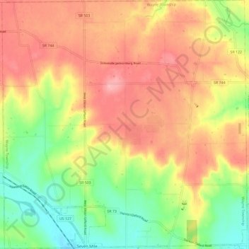
Name: Wayne Township topographic map, elevation, terrain.
Location: Wayne Township, Butler County, Ohio, 45062, United States (39.47907 -84.59152 39.56823 -84.47750)
Average elevation: 856 ft
Minimum elevation: 633 ft
Maximum elevation: 1,053 ft
Butler County trails, hiking, mountain biking, running and outdoor activities
Other topographic maps
Click on a map to view its topography, its elevation and its terrain.