
San Isidro topographic map
Click on the map to display elevation.
About this map
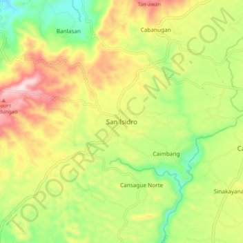
Name: San Isidro topographic map, elevation, terrain.
Location: San Isidro, Bohol, Central Visayas, 6345, Philippines (9.81956 123.91622 9.89956 123.99622)
Average elevation: 719 ft
Minimum elevation: 72 ft
Maximum elevation: 1,499 ft