Geolocate

Ubaub topographic map

Click on the map to display elevation.

About this map

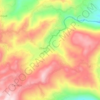
Name: Ubaub topographic map, elevation, terrain.

Location: Ubaub, Cebu, Central Visayas, Philippines (9.91797 123.51793 9.95797 123.55793)

Average elevation: 1,394 ft

Minimum elevation: 610 ft

Maximum elevation: 1,923 ft

Gear up for your next adventure:

🔊Portable Camp Speaker - Music and alerts at camp
🔦Powerful Headlamps - Ultra-bright hands-free lighting for night navigation
🧷Carabiner Set - Durable clips for gear attachment
🗺️NatGeo Topo Maps - High-quality waterproof printed topographic maps of US Parks
Backpacking Tents - Weight-optimized shelters for multi-day topographic surveys

As an Amazon Associate, this site earns from qualifying purchases at no extra cost to you.