Geolocate

Surah topographic map

Click on the map to display elevation.

About this map

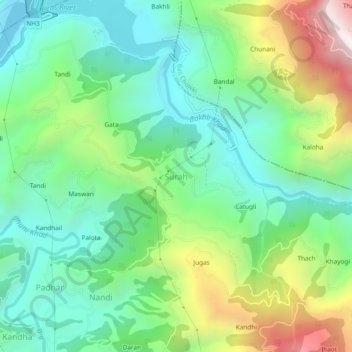
Name: Surah topographic map, elevation, terrain.

Location: Surah, Chachyot, Mandi, Himachal Pradesh, 175124, India (31.63232 77.06523 31.67232 77.10523)

Average elevation: 4,055 ft

Minimum elevation: 2,762 ft

Maximum elevation: 6,844 ft

Gear up for your next adventure:

📷Action Cameras - Rugged cameras to document your journeys across rugged terrain
🧢Outdoor Hiking Hat - Sun protection hat for outdoor explorers
🛌Ultralight Sleeping Bags - Compact down bags for cold nights in the wilderness
🍳Camping Cook Set - Complete cookware for outdoor meals
🥘Titanium Cookware - Durable, featherlight pots and pans for backpacking

As an Amazon Associate, this site earns from qualifying purchases at no extra cost to you.