Geolocate

Garhi topographic map

Click on the map to display elevation.

About this map

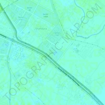
Name: Garhi topographic map, elevation, terrain.

Location: Garhi, Gautam Buddha Nagar, Uttar Pradesh, 210305, India (28.47554 77.40425 28.51554 77.44425)

Average elevation: 650 ft

Minimum elevation: 640 ft

Maximum elevation: 666 ft

Gear up for your next adventure:

👟Men's Trail Runners - Lightweight footwear for fast-paced exploration and light hiking
🧭Outdoor Navigation Book - Learn advanced navigation skills
🚑Emergency Bivvies - Heat-reflective sleeping bags for survival situations
👖Convertible Hiking Pants - Versatile zip-off pants for changing altitudes and temperatures
Backpacking Tent - Lightweight and durable tent for multi‑day hikes

As an Amazon Associate, this site earns from qualifying purchases at no extra cost to you.