
Orsbach topographic map
Interactive map
Click on the map to display elevation.
Orsbach
Orsbach ist der westlichste Stadtteil von Aachen im Stadtbezirk Laurensberg. Er liegt auf einer Anhöhe in 200 Metern Höhe, direkt an der deutsch-niederländischen Grenze und hat rund 600 Einwohner.
About this map
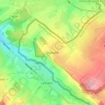
Name: Orsbach topographic map, elevation, terrain.
Average elevation: 604 ft
Minimum elevation: 404 ft
Maximum elevation: 850 ft