Geolocate

October Hills topographic map

Click on the map to display elevation.

About this map

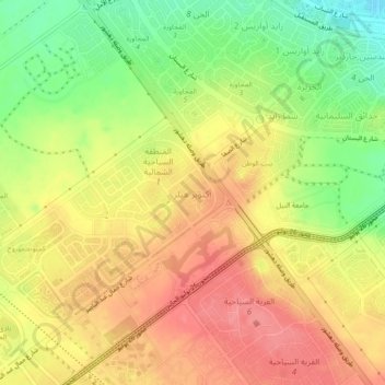
Name: October Hills topographic map, elevation, terrain.

Location: October Hills, Giza, 12573, Egypt (29.99344 30.95367 30.03344 30.99367)

Average elevation: 518 ft

Minimum elevation: 351 ft

Maximum elevation: 650 ft

Gear up for your next adventure:

🪶Thermal Camp Blanket - Extra warmth for cold nights
Solar GPS Watches - Advanced multisport watches with built-in topographic maps
🏕️Family Camping Gear - Essentials for group camping trips
🗺️NatGeo Topo Maps - High-quality waterproof printed topographic maps of US Parks
🔭Telescopic Hiking Pole - Adjustable pole for hiking stability

As an Amazon Associate, this site earns from qualifying purchases at no extra cost to you.