Geolocate

Grauberg topographic map

Interactive map

Click on the map to display elevation.

About this map

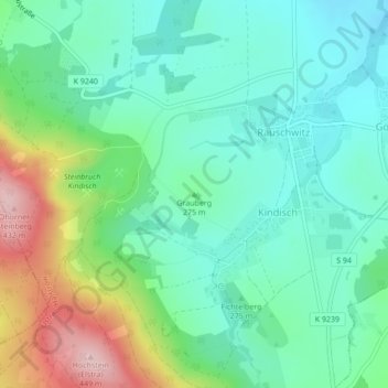
Name: Grauberg topographic map, elevation, terrain.

Location: Grauberg, Elstra, Bautzen, Sachsen, Deutschland (51.19364 14.12383 51.19374 14.12393)

Average elevation: 919 ft

Minimum elevation: 712 ft

Maximum elevation: 1,417 ft

Other topographic maps

Click on a map to view its topography, its elevation and its terrain.

Kälberberg

Deutschland > Sachsen > Bautzen > Elstra

Kälberberg, Elstra, Bautzen, Sachsen, 01920, Deutschland

Average elevation: 951 ft

Elstra

Deutschland > Sachsen > Bautzen > Elstra

Elstra, Bautzen, Sachsen, 01920, Deutschland

Average elevation: 801 ft