Geolocate

Riedmoos topographic map

Click on the map to display elevation.

About this map

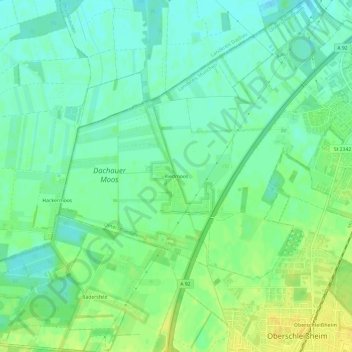
Name: Riedmoos topographic map, elevation, terrain.

Location: Riedmoos, Unterschleißheim, Landkreis München, Bayern, 85764, Deutschland (48.25311 11.51393 48.29311 11.55393)

Average elevation: 1,555 ft

Minimum elevation: 1,526 ft

Maximum elevation: 1,594 ft

Other topographic maps

Click on a map to view its topography, its elevation and its terrain.

85716

Deutschland > Bayern > Landkreis München > Unterschleißheim > Riedmoos

Average elevation: 1,555 ft

Gear up for your next adventure:

🌲Outdoor Survival Books - Best books on survival skills
🏕️Tent Footprint - Protect your tent base from wear
🪶Fire Starter Kit - Reliable fire starter for survival and camping
🔥Camping Stove - Portable stove for camping and backcountry cooking
🛠️Outdoor Gear Repair Kit - Essential tools to fix gear on the trail

As an Amazon Associate, this site earns from qualifying purchases at no extra cost to you.