
Plainview topographic map
Click on the map to display elevation.
Plainview
Plainview was platted in 1857. The city was named from its location on a plain at a lofty elevation, where a "plain view" can be had of the surrounding area. A post office has been in operation at Plainview since 1857. Plainview was incorporated in 1875.
About this map
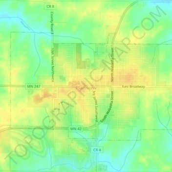
Name: Plainview topographic map, elevation, terrain.
Location: Plainview, Wabasha County, Minnesota, 55964, United States (44.15590 -92.18953 44.17412 -92.14924)
Average elevation: 1,142 ft
Minimum elevation: 1,093 ft
Maximum elevation: 1,178 ft
Wabasha County trails, hiking, mountain biking, running and outdoor activities
Other topographic maps
Click on a map to view its topography, its elevation and its terrain.