
Thank you for supporting this site ❤️
Make a donation
Make a donation
Gear up for your next adventure:
As an Amazon Associate, this site earns from qualifying purchases at no extra cost to you.
Kinlochard topographic map
Click on the map to display elevation.
Thank you for supporting this site ❤️
Make a donation
Make a donation
Gear up for your next adventure:
As an Amazon Associate, this site earns from qualifying purchases at no extra cost to you.
About this map
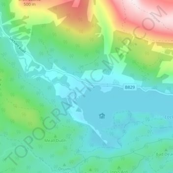
Name: Kinlochard topographic map, elevation, terrain.
Location: Kinlochard, Stirling, Scotland, FK8 3TW, United Kingdom (56.16767 -4.51321 56.20767 -4.47321)
Average elevation: 581 ft
Minimum elevation: 85 ft
Maximum elevation: 2,083 ft
Thank you for supporting this site ❤️
Make a donation
Make a donation
Gear up for your next adventure:
As an Amazon Associate, this site earns from qualifying purchases at no extra cost to you.