
Shallowater topographic map
Click on the map to display elevation.
About this map
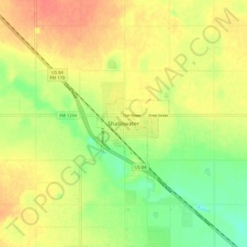
Name: Shallowater topographic map, elevation, terrain.
Location: Shallowater, Lubbock County, Texas, 79363, United States (33.65117 -102.03272 33.73117 -101.95272)
Average elevation: 3,310 ft
Minimum elevation: 3,228 ft
Maximum elevation: 3,373 ft
Lubbock County trails, hiking, mountain biking, running and outdoor activities