
Thank you for supporting this site ❤️
Make a donation
Make a donation
Gear up for your next adventure:
As an Amazon Associate, this site earns from qualifying purchases at no extra cost to you.
Phagi topographic map
Click on the map to display elevation.
Thank you for supporting this site ❤️
Make a donation
Make a donation
Gear up for your next adventure:
As an Amazon Associate, this site earns from qualifying purchases at no extra cost to you.
About this map
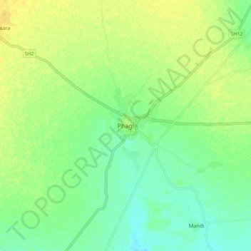
Name: Phagi topographic map, elevation, terrain.
Location: Phagi, Phagi Tehsil, Jaipur, Rajasthan, 303005, India (26.53698 75.51870 26.61698 75.59870)
Average elevation: 1,047 ft
Minimum elevation: 1,010 ft
Maximum elevation: 1,079 ft
Thank you for supporting this site ❤️
Make a donation
Make a donation
Gear up for your next adventure:
As an Amazon Associate, this site earns from qualifying purchases at no extra cost to you.