
Gunung Pinang topographic map
Click on the map to display elevation.
About this map
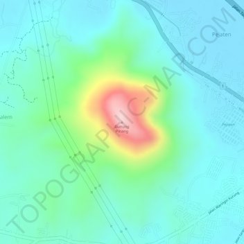
Name: Gunung Pinang topographic map, elevation, terrain.
Location: Gunung Pinang, Pejaten, Serang, Banten, 42616, Indonesia (-6.06055 106.10085 -6.06045 106.10095)
Average elevation: 197 ft
Minimum elevation: 3 ft
Maximum elevation: 823 ft