Geolocate

Gopasandra topographic map

Click on the map to display elevation.

About this map

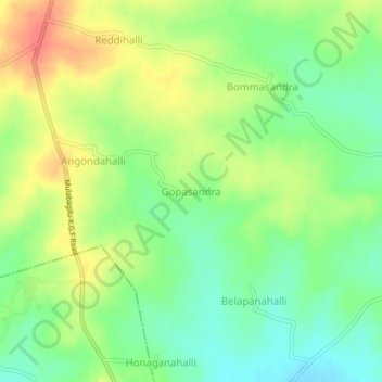
Name: Gopasandra topographic map, elevation, terrain.

Location: Gopasandra, Mulubagilu taluk, Kolar District, Karnataka, India (13.04418 78.35471 13.08418 78.39471)

Average elevation: 2,638 ft

Minimum elevation: 2,556 ft

Maximum elevation: 2,736 ft

Gear up for your next adventure:

🌎3D Topographic Globes - Raised relief globes for a tactile understanding of geography
📚Navigation Handbooks - Master the art of reading topographic maps and using a compass
🛰️Handheld GPS Units - Professional satellite navigators for precise backcountry mapping
GPS Sports Watch - GPS watch for running, hiking and training
🚁Photography Drones - Capture stunning aerial views of landforms and topography

As an Amazon Associate, this site earns from qualifying purchases at no extra cost to you.