
Keystone topographic map
Click on the map to display elevation.
About this map
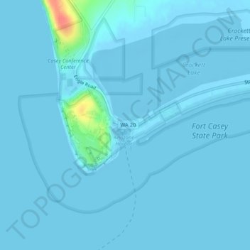
Name: Keystone topographic map, elevation, terrain.
Location: Keystone, Island County, Washington, United States (48.14951 -122.68217 48.16951 -122.66217)
Average elevation: 7 ft
Minimum elevation: -13 ft
Maximum elevation: 187 ft
Island County trails, hiking, mountain biking, running and outdoor activities
Other topographic maps
Click on a map to view its topography, its elevation and its terrain.
Ebey's Landing National Historical Reserve
United States > Washington > Island County
Average elevation: 82 ft