Geolocate

Ngala topographic map

Click on the map to display elevation.

About this map

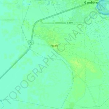
Name: Ngala topographic map, elevation, terrain.

Location: Ngala, Borno State, Nigeria (12.29563 14.16287 12.37193 14.24055)

Average elevation: 948 ft

Minimum elevation: 935 ft

Maximum elevation: 965 ft

Gear up for your next adventure:

🔥Fast-Boil Camping Stoves - Efficient cooking systems for quick trail meals
🪶Survival Guide Book - Expert advice for emergency preparedness
🪶Fire Starter Kit - Reliable fire starter for survival and camping
🧭GPS Watch Accessories - Bands and chargers for GPS watches
🪶Compact Camp Shovel - Folding shovel for campsite tasks

As an Amazon Associate, this site earns from qualifying purchases at no extra cost to you.