Geolocate

Rathinamangalam topographic map

Click on the map to display elevation.

About this map

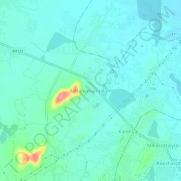
Name: Rathinamangalam topographic map, elevation, terrain.

Location: Rathinamangalam, Chengalpattu, Tamil Nadu, 600127, India (12.83853 80.11164 12.87853 80.15164)

Average elevation: 85 ft

Minimum elevation: 33 ft

Maximum elevation: 341 ft

Other topographic maps

Click on a map to view its topography, its elevation and its terrain.

Malayambakkam Lake

India > Tamil Nadu > Chengalpattu > Paranur

Average elevation: 144 ft

Manivakkam Lake

India > Tamil Nadu > Chengalpattu > Vandalur

Average elevation: 82 ft

Mambakkam Lake

India > Tamil Nadu > Chengalpattu > Tiruporur

Average elevation: 49 ft

Vandalur Lake

India > Tamil Nadu > Chengalpattu > Vandalur

Average elevation: 105 ft

Kolavai Lake

India > Tamil Nadu > Chengalpattu > Rajākulipettai

Average elevation: 131 ft

Palar River

India > Tamil Nadu > Chengalpattu > Devanur

Average elevation: 144 ft

Gear up for your next adventure:

🛌Ultralight Sleeping Bags - Compact down bags for cold nights in the wilderness
📌Outdoor GPS Map App - Apps and devices for digital topographic navigation
Camping Coffee Makers - Enjoy premium coffee at the summit or campsite
💧Water Filtration Bottles - Safely drink from streams and lakes while exploring
🗺️NatGeo Topo Maps - High-quality waterproof printed topographic maps of US Parks

As an Amazon Associate, this site earns from qualifying purchases at no extra cost to you.