Geolocate

Naini topographic map

Click on the map to display elevation.

About this map

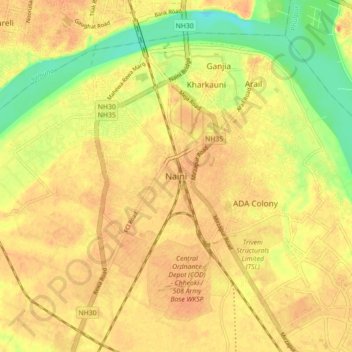
Name: Naini topographic map, elevation, terrain.

Location: Naini, Karchhana, Prayagraj, Uttar Pradesh, 211008, India (25.36289 81.82289 25.44289 81.90289)

Average elevation: 292 ft

Minimum elevation: 207 ft

Maximum elevation: 344 ft

Gear up for your next adventure:

🧣Merino Neck Gaiters - Multi-functional headwear for wind and sun protection
🧭Map Reading Tools - Tools and kits for map navigation
🖼️Topo Map Wall Art - Decorative topographic prints of famous peaks and regions
📖Nature Tracking Books - Learn to track wildlife and terrain
🏕️Tent Footprint - Protect your tent base from wear

As an Amazon Associate, this site earns from qualifying purchases at no extra cost to you.