Geolocate

Fort Walton Beach topographic map

Click on the map to display elevation.

About this map

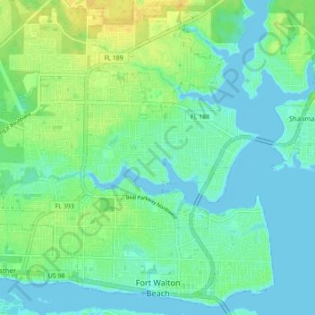
Name: Fort Walton Beach topographic map, elevation, terrain.

Location: Fort Walton Beach, Okaloosa County, Florida, United States (30.40120 -86.67314 30.47166 -86.58698)

Average elevation: 30 ft

Minimum elevation: -10 ft

Maximum elevation: 89 ft

Okaloosa County trails, hiking, mountain biking, running and outdoor activities

Other topographic maps

Click on a map to view its topography, its elevation and its terrain.

Dana Point

United States > Florida > Okaloosa County > Niceville

Average elevation: 7 ft

Deerland

United States > Florida > Okaloosa County

Average elevation: 207 ft

Holt

United States > Florida > Okaloosa County

Average elevation: 174 ft

Ocean City

United States > Florida > Okaloosa County > Ocean City

Average elevation: 20 ft

Gear up for your next adventure:

🪶LED Camping Lantern - Bright lantern for camp lighting
🪶Compact Camp Shovel - Folding shovel for campsite tasks
🪵Folding Camp Saw - Compact saw for wood and campsite work
🪶Survival Guide Book - Expert advice for emergency preparedness
🍳Camping Cook Set - Complete cookware for outdoor meals

As an Amazon Associate, this site earns from qualifying purchases at no extra cost to you.