Geolocate

Gunung Tempurung topographic map

Click on the map to display elevation.

About this map

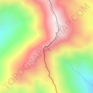
Name: Gunung Tempurung topographic map, elevation, terrain.

Location: Gunung Tempurung, Lundu, Kuching Division, Sarawak, Malaysia (1.67774 109.66074 1.67784 109.66084)

Average elevation: 3,583 ft

Minimum elevation: 2,205 ft

Maximum elevation: 4,600 ft

Gear up for your next adventure:

☀️Outdoor Sunscreen - High protection sunscreen for outdoor activities
📡Handheld GPS Device - Reliable handheld GPS for outdoor navigation
🧭Pro Hiking Compasses - High-accuracy liquid-filled compasses for topographic orientation
🪑Portable Camp Table - Compact table for campsite meals
❄️Traction Cleats - Prevent slips on icy trails during winter hikes

As an Amazon Associate, this site earns from qualifying purchases at no extra cost to you.