Geolocate

Kachrod topographic map

Click on the map to display elevation.

About this map

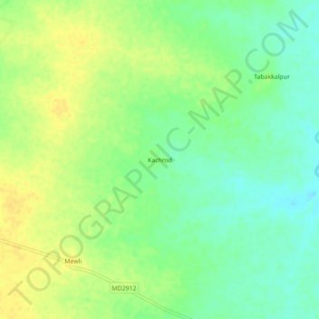
Name: Kachrod topographic map, elevation, terrain.

Location: Kachrod, Basoda Tahsil, Vidisha, Madhya Pradesh, India (23.82365 77.97130 23.86365 78.01130)

Average elevation: 1,368 ft

Minimum elevation: 1,325 ft

Maximum elevation: 1,404 ft

Other topographic maps

Click on a map to view its topography, its elevation and its terrain.

Mudra

India > Madhya Pradesh > Basoda Tahsil > Gamakhar

Average elevation: 1,362 ft

Baret

India > Madhya Pradesh > Basoda Tahsil

Average elevation: 1,335 ft

Gear up for your next adventure:

🏕️Tent Footprint - Protect your tent base from wear
🏥Hiking First Aid Kits - Comprehensive medical kits for remote trail injuries
🛰️Satellite Messengers - Emergency SOS and two-way messaging for off-grid adventures
📡Handheld GPS Device - Reliable handheld GPS for outdoor navigation
GPS Sports Watch - GPS watch for running, hiking and training

As an Amazon Associate, this site earns from qualifying purchases at no extra cost to you.