
窑口镇 topographic map
Interactive map
Click on the map to display elevation.
About this map
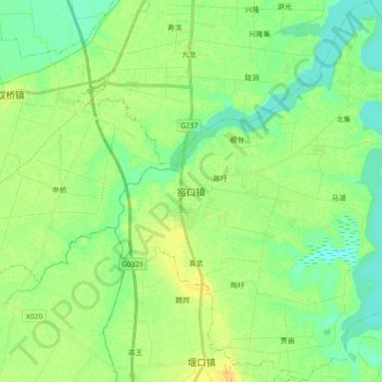
Name: 窑口镇 topographic map, elevation, terrain.
Location: 窑口镇, 寿县, 淮南市, 安徽省, 中国 (32.37640 116.74752 32.52977 116.90174)
Average elevation: 79 ft
Minimum elevation: 46 ft
Maximum elevation: 121 ft
Other topographic maps
Click on a map to view its topography, its elevation and its terrain.