
Hereford topographic map
Interactive map
Click on the map to display elevation.
About this map
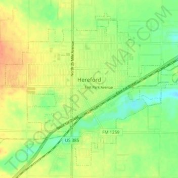
Name: Hereford topographic map, elevation, terrain.
Location: Hereford, Deaf Smith County, Texas, 79045, United States (34.79667 -102.43203 34.84615 -102.36149)
Average elevation: 3,829 ft
Minimum elevation: 3,763 ft
Maximum elevation: 3,891 ft
Other topographic maps
Click on a map to view its topography, its elevation and its terrain.
Dawn
United States > Texas > Deaf Smith County
Dawn, Deaf Smith County, Texas, 79025, United States
Average elevation: 3,806 ft
Hereford
United States > Texas > Deaf Smith County > Hereford > Hereford
Hereford, Deaf Smith County, Texas, 79045, United States
Average elevation: 3,832 ft