Geolocate

Parki topographic map

Click on the map to display elevation.

About this map

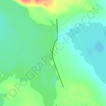
Name: Parki topographic map, elevation, terrain.

Location: Parki, Parkijaur, Jokkmokks kommun, Norrbotten County, Sweden (66.73101 19.19915 66.74830 19.20652)

Average elevation: 965 ft

Minimum elevation: 919 ft

Maximum elevation: 1,093 ft

Gear up for your next adventure:

📚Navigation Handbooks - Master the art of reading topographic maps and using a compass
🥤Water Filter Bottle - All‑in‑one filter bottle for safe hydration
🎒Waterproof Dry Bags - Keep your electronics and maps dry inside your pack
🌡️Handheld Weather Meters - Measure wind, temp, and pressure for safe mountain travel
🥾Women's Hiking Boots - Top-rated trail boots with ankle support and superior grip

As an Amazon Associate, this site earns from qualifying purchases at no extra cost to you.