
Thank you for supporting this site ❤️
Make a donation
Make a donation
Gear up for your next adventure:
As an Amazon Associate, this site earns from qualifying purchases at no extra cost to you.
Yimbo topographic map
Click on the map to display elevation.
Thank you for supporting this site ❤️
Make a donation
Make a donation
Gear up for your next adventure:
As an Amazon Associate, this site earns from qualifying purchases at no extra cost to you.
About this map
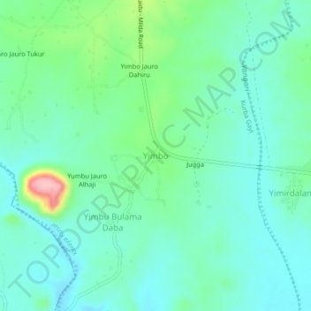
Name: Yimbo topographic map, elevation, terrain.
Location: Yimbo, Kurba Gayi, Kwaya Kusar, Borno State, Nigeria (10.37639 11.81022 10.41639 11.85022)
Average elevation: 935 ft
Minimum elevation: 810 ft
Maximum elevation: 1,345 ft
Thank you for supporting this site ❤️
Make a donation
Make a donation
Gear up for your next adventure:
As an Amazon Associate, this site earns from qualifying purchases at no extra cost to you.