
Mount Revelstoke topographic map
Click on the map to display elevation.
About this map
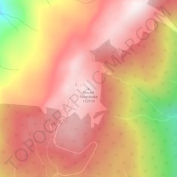
Name: Mount Revelstoke topographic map, elevation, terrain.
Average elevation: 5,676 ft
Minimum elevation: 4,140 ft
Maximum elevation: 6,414 ft
Other topographic maps
Click on a map to view its topography, its elevation and its terrain.
Copeland Creek
Canada > British Columbia > Columbia-Shuswap Regional District > Area B (Shelter Bay/Mica Creek)
Average elevation: 5,210 ft
Heart Lake
Canada > British Columbia > Columbia-Shuswap Regional District > Area B (Shelter Bay/Mica Creek)
Average elevation: 6,457 ft