
Thank you for supporting this site ❤️
Make a donation
Make a donation
Gear up for your next adventure:
As an Amazon Associate, this site earns from qualifying purchases at no extra cost to you.
Asso-Veral topographic map
Click on the map to display elevation.
Thank you for supporting this site ❤️
Make a donation
Make a donation
Gear up for your next adventure:
As an Amazon Associate, this site earns from qualifying purchases at no extra cost to you.
About this map
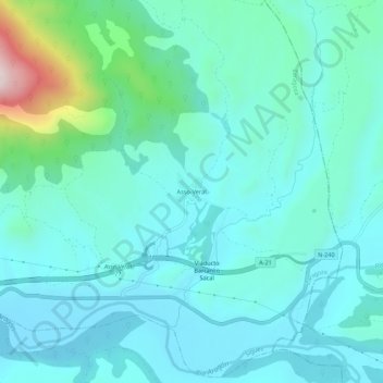
Name: Asso-Veral topographic map, elevation, terrain.
Location: Asso-Veral, Sigüés, La Jacetania, Zaragoza, Aragón, España (42.59904 -0.94612 42.63904 -0.90612)
Average elevation: 1,982 ft
Minimum elevation: 1,673 ft
Maximum elevation: 3,563 ft
Thank you for supporting this site ❤️
Make a donation
Make a donation
Gear up for your next adventure:
As an Amazon Associate, this site earns from qualifying purchases at no extra cost to you.