
Thank you for supporting this site ❤️
Make a donation
Make a donation
Gear up for your next adventure:
As an Amazon Associate, this site earns from qualifying purchases at no extra cost to you.
Sargent topographic map
Click on the map to display elevation.
Thank you for supporting this site ❤️
Make a donation
Make a donation
Gear up for your next adventure:
As an Amazon Associate, this site earns from qualifying purchases at no extra cost to you.
About this map
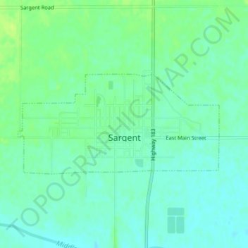
Name: Sargent topographic map, elevation, terrain.
Location: Sargent, Custer County, Nebraska, 68874, United States (41.63654 -99.38538 41.64740 -99.35607)
Average elevation: 2,323 ft
Minimum elevation: 2,300 ft
Maximum elevation: 2,349 ft
Custer County trails, hiking, mountain biking, running and outdoor activities
Thank you for supporting this site ❤️
Make a donation
Make a donation
Gear up for your next adventure:
As an Amazon Associate, this site earns from qualifying purchases at no extra cost to you.