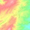
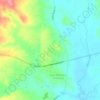
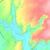
Eagar topographic map
Click on the map to display elevation.
About this map

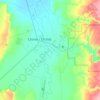
Name: Eagar topographic map, elevation, terrain.
Location: Eagar, Apache County, Arizona, 85925, United States (34.08253 -109.34972 34.12909 -109.23158)
Average elevation: 7,306 ft
Minimum elevation: 6,906 ft
Maximum elevation: 8,533 ft
Apache County trails, hiking, mountain biking, running and outdoor activities
Other topographic maps
Click on a map to view its topography, its elevation and its terrain.



Canyon de Chelly National Monument
United States > Arizona > Apache County
Average elevation: 5,807 ft