
Passo Tre Croci topographic map
Click on the map to display elevation.
About this map
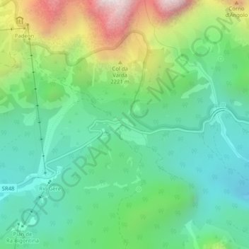
Name: Passo Tre Croci topographic map, elevation, terrain.
Location: Passo Tre Croci, Cortina d'Ampezzo, Belluno, Veneto, Italia (46.55697 12.20180 46.55707 12.20190)
Average elevation: 6,263 ft
Minimum elevation: 5,138 ft
Maximum elevation: 8,776 ft
Other topographic maps
Click on a map to view its topography, its elevation and its terrain.
Tofane
Italia > Veneto > Belluno > Cortina d'Ampezzo
Costruita nella seconda metà del XX secolo e divisa in tre tronconi, la funivia Freccia nel Cielo è il più diretto mezzo di trasporto per raggiungere la cima della Tofana di Mezzo. La base (1.250 m s.l.m.), o prima stazione, si trova infatti nel pieno centro di Cortina, proprio davanti al famoso Stadio…
Average elevation: 7,530 ft