
Pandhari topographic map
Interactive map
Click on the map to display elevation.
About this map
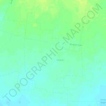
Name: Pandhari topographic map, elevation, terrain.
Location: Pandhari, Chandurbazar, Amravati, Maharashtra, India (21.29490 77.65107 21.31542 77.66707)
Average elevation: 1,302 ft
Minimum elevation: 1,276 ft
Maximum elevation: 1,335 ft
Other topographic maps
Click on a map to view its topography, its elevation and its terrain.
Boraj
India > Maharashtra > Chandurbazar
Boraj, Chandurbazar, Amravati, Maharashtra, India
Average elevation: 1,253 ft
Chandurbazar
India > Maharashtra > Chandurbazar
Chandurbazar, Amravati, Maharashtra, India
Average elevation: 1,234 ft