
Rouse topographic map
Interactive map
Click on the map to display elevation.
About this map
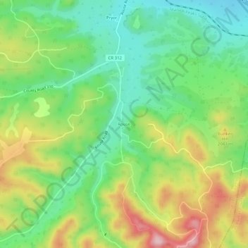
Name: Rouse topographic map, elevation, terrain.
Location: Rouse, Huerfano County, Colorado, United States (37.47085 -104.73165 37.51085 -104.69165)
Average elevation: 6,667 ft
Minimum elevation: 6,355 ft
Maximum elevation: 7,152 ft
Huerfano County trails, hiking, mountain biking, running and outdoor activities