
Wooster topographic map
Click on the map to display elevation.
About this map
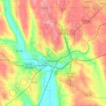
Name: Wooster topographic map, elevation, terrain.
Location: Wooster, Wayne County, Ohio, 44691, United States (40.74767 -81.97998 40.86609 -81.88563)
Average elevation: 1,033 ft
Minimum elevation: 833 ft
Maximum elevation: 1,217 ft
Wayne County trails, hiking, mountain biking, running and outdoor activities
Other topographic maps
Click on a map to view its topography, its elevation and its terrain.