Geolocate

Chiamulera topographic map

Click on the map to display elevation.

About this map

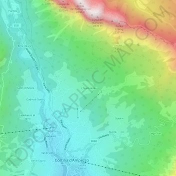
Name: Chiamulera topographic map, elevation, terrain.

Location: Chiamulera, Cortina d'Ampezzo, Belluno, Veneto, 32043, Italy (46.53472 12.12279 46.57472 12.16279)

Average elevation: 4,931 ft

Minimum elevation: 3,825 ft

Maximum elevation: 7,733 ft

Gear up for your next adventure:

📷Action Camera - Capture your outdoor adventures in HD
🦺Reflective Outdoor Gear - Safety gear for low‑light conditions
🌧️Backpack Rain Cover - Keep gear dry in wet weather
🥾Women's Hiking Boots - Top-rated trail boots with ankle support and superior grip
🧯Emergency Survival Kit - All‑in‑one survival essentials for the backcountry

As an Amazon Associate, this site earns from qualifying purchases at no extra cost to you.