
Thank you for supporting this site ❤️
Make a donation
Make a donation
Gear up for your next adventure:
As an Amazon Associate, this site earns from qualifying purchases at no extra cost to you.
Lake Nasser topographic map
Click on the map to display elevation.
Thank you for supporting this site ❤️
Make a donation
Make a donation
Gear up for your next adventure:
As an Amazon Associate, this site earns from qualifying purchases at no extra cost to you.
About this map
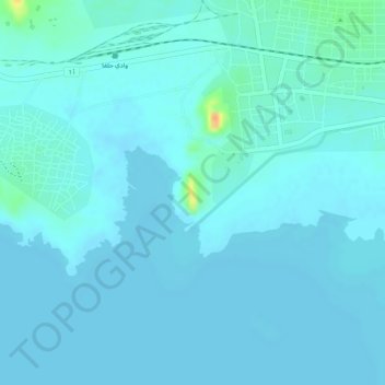
Name: Lake Nasser topographic map, elevation, terrain.
Location: Lake Nasser, أ 1, Wadi Halfa, Northern State, Sudan (21.79391 31.34558 21.79401 31.34568)
Average elevation: 597 ft
Minimum elevation: 581 ft
Maximum elevation: 709 ft
Thank you for supporting this site ❤️
Make a donation
Make a donation
Gear up for your next adventure:
As an Amazon Associate, this site earns from qualifying purchases at no extra cost to you.