Geolocate

Ratanpur topographic map

Click on the map to display elevation.

About this map

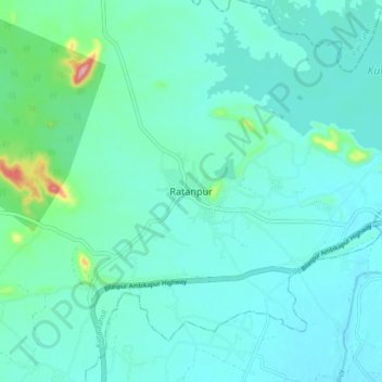
Name: Ratanpur topographic map, elevation, terrain.

Location: Ratanpur, Kota Tahsil, Bilaspur, Chhattisgarh, 495442, India (22.24683 82.12778 22.32683 82.20778)

Average elevation: 984 ft

Minimum elevation: 906 ft

Maximum elevation: 1,447 ft

Gear up for your next adventure:

📌Outdoor GPS Map App - Apps and devices for digital topographic navigation
🖼️Topo Map Wall Art - Decorative topographic prints of famous peaks and regions
🧤Hiking Gloves - Protective gloves for rugged trails
🪶Thermal Camp Blanket - Extra warmth for cold nights
🌲Outdoor Survival Books - Best books on survival skills

As an Amazon Associate, this site earns from qualifying purchases at no extra cost to you.