
Thank you for supporting this site ❤️
Make a donation
Make a donation
Gear up for your next adventure:
As an Amazon Associate, this site earns from qualifying purchases at no extra cost to you.
Telheiro topographic map
Click on the map to display elevation.
Thank you for supporting this site ❤️
Make a donation
Make a donation
Gear up for your next adventure:
As an Amazon Associate, this site earns from qualifying purchases at no extra cost to you.
About this map
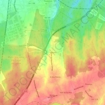
Name: Telheiro topographic map, elevation, terrain.
Location: Telheiro, Maceira, Leiria, 2405-002, Portugal (39.69227 -8.93131 39.73227 -8.89131)
Average elevation: 459 ft
Minimum elevation: 279 ft
Maximum elevation: 597 ft
Thank you for supporting this site ❤️
Make a donation
Make a donation
Gear up for your next adventure:
As an Amazon Associate, this site earns from qualifying purchases at no extra cost to you.