Geolocate

Muriaglio topographic map

Click on the map to display elevation.

About this map

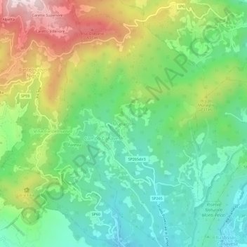
Name: Muriaglio topographic map, elevation, terrain.

Location: Muriaglio, Castellamonte, Torino, Piemonte, 10081, Italia (45.40913 7.70016 45.44913 7.74016)

Average elevation: 2,008 ft

Minimum elevation: 1,240 ft

Maximum elevation: 3,409 ft

Gear up for your next adventure:

📻Weather Alert Radios - Stay informed of storm risks while off-the-grid
🪶Paracord Bracelet - Survival bracelet with built‑in tools
🩹Survival Bandages - High‑quality bandages for emergencies
🗻Climbing Gear Basics - Essential gear for beginner climbers
😴Insulated Sleeping Pads - Compact and warm pads for high-elevation camping

As an Amazon Associate, this site earns from qualifying purchases at no extra cost to you.