
Brainerd topographic map
Click on the map to display elevation.
About this map
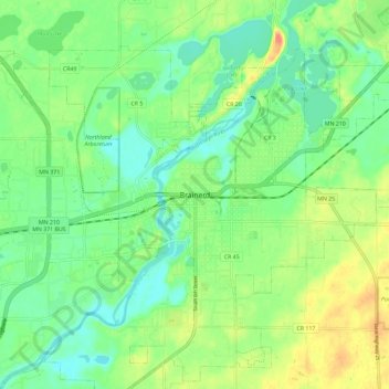
Name: Brainerd topographic map, elevation, terrain.
Location: Brainerd, Crow Wing County, Minnesota, 56401, United States (46.31802 -94.24083 46.39802 -94.16083)
Average elevation: 1,211 ft
Minimum elevation: 1,142 ft
Maximum elevation: 1,332 ft
Crow Wing County trails, hiking, mountain biking, running and outdoor activities