
Robins topographic map
Click on the map to display elevation.
About this map
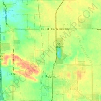
Name: Robins topographic map, elevation, terrain.
Location: Robins, Linn County, Iowa, 52328, United States (42.05869 -91.70208 42.10953 -91.64337)
Average elevation: 860 ft
Minimum elevation: 784 ft
Maximum elevation: 935 ft
Linn County trails, hiking, mountain biking, running and outdoor activities
Other topographic maps
Click on a map to view its topography, its elevation and its terrain.