Geolocate

Lebanon topographic map

Click on the map to display elevation.

About this map

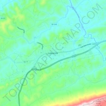
Name: Lebanon topographic map, elevation, terrain.

Location: Lebanon, Russell County, Virginia, 24266, United States (36.86091 -82.12013 36.94091 -82.04013)

Average elevation: 2,234 ft

Minimum elevation: 1,824 ft

Maximum elevation: 3,760 ft

Russell County trails, hiking, mountain biking, running and outdoor activities

Gear up for your next adventure:

📻Weather Alert Radios - Stay informed of storm risks while off-the-grid
🧦Hiking Socks - Comfortable socks to prevent blisters on long hikes
GPS Sports Watch - GPS watch for running, hiking and training
📦Dry Bags Set - Waterproof storage for electronics and clothes
📶Satellite Messenger - Communication device off‑grid

As an Amazon Associate, this site earns from qualifying purchases at no extra cost to you.