
Thank you for supporting this site ❤️
Make a donation
Make a donation
Gear up for your next adventure:
As an Amazon Associate, this site earns from qualifying purchases at no extra cost to you.
Naugaon topographic map
Click on the map to display elevation.
Thank you for supporting this site ❤️
Make a donation
Make a donation
Gear up for your next adventure:
As an Amazon Associate, this site earns from qualifying purchases at no extra cost to you.
About this map
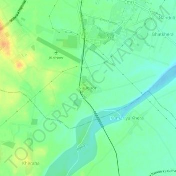
Name: Naugaon topographic map, elevation, terrain.
Location: Naugaon, Rajsamand Tehsil, Rajsamand, Rajasthan, 313300, India (24.99256 73.88648 25.03256 73.92648)
Average elevation: 1,755 ft
Minimum elevation: 1,713 ft
Maximum elevation: 1,818 ft
Thank you for supporting this site ❤️
Make a donation
Make a donation
Gear up for your next adventure:
As an Amazon Associate, this site earns from qualifying purchases at no extra cost to you.