
Thank you for supporting this site ❤️
Make a donation
Make a donation
Gear up for your next adventure:
As an Amazon Associate, this site earns from qualifying purchases at no extra cost to you.
Prentiss topographic map
Click on the map to display elevation.
Thank you for supporting this site ❤️
Make a donation
Make a donation
Gear up for your next adventure:
As an Amazon Associate, this site earns from qualifying purchases at no extra cost to you.
About this map
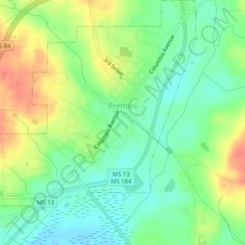
Name: Prentiss topographic map, elevation, terrain.
Location: Prentiss, Jefferson Davis County, Mississippi, United States (31.58142 -89.88667 31.61149 -89.85649)
Average elevation: 351 ft
Minimum elevation: 279 ft
Maximum elevation: 456 ft
Jefferson Davis County trails, hiking, mountain biking, running and outdoor activities
Thank you for supporting this site ❤️
Make a donation
Make a donation
Gear up for your next adventure:
As an Amazon Associate, this site earns from qualifying purchases at no extra cost to you.